Whether you are travelling, thinking of travelling, or simply like to be informed, take 3 minutes and get up to date on what you need to know about Barbados Hurricane Facts. Get quick facts on the history of hurricanes in Barbados and information on how Barbados is equipped to handle a hurricane or storm. Keep track of the hurricane outlook for 2020, understanding the severity of a storm helps you with risk assessment. We’ll show you The Saffir Simpson Scale and how it is used to rate storms from a Category 1-5. All delivered in a quick and easy to read format.
General Hurricane Information
The Atlantic hurricane season starts from June 1st and lasts till November 30th of the given year. The Caribbean Sea, the Atlantic Ocean, and the Gulf of Mexico are the areas covered for hurricane activity. A Hurricane is classified as a tropical cyclone with maximum sustained winds of 39 to 73 mph (34 to 63 knots). Hurricane awareness week is between May 25th – May 31st. National Oceanic and Atmospheric Administration (NOAA) will announce the 2020 Atlantic hurricane season outlook on May 21st, 2020.
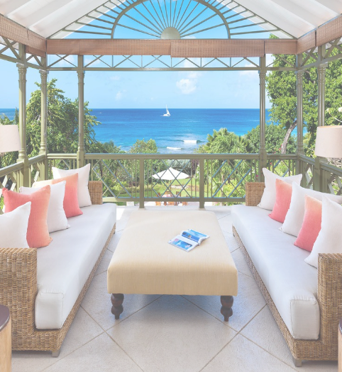
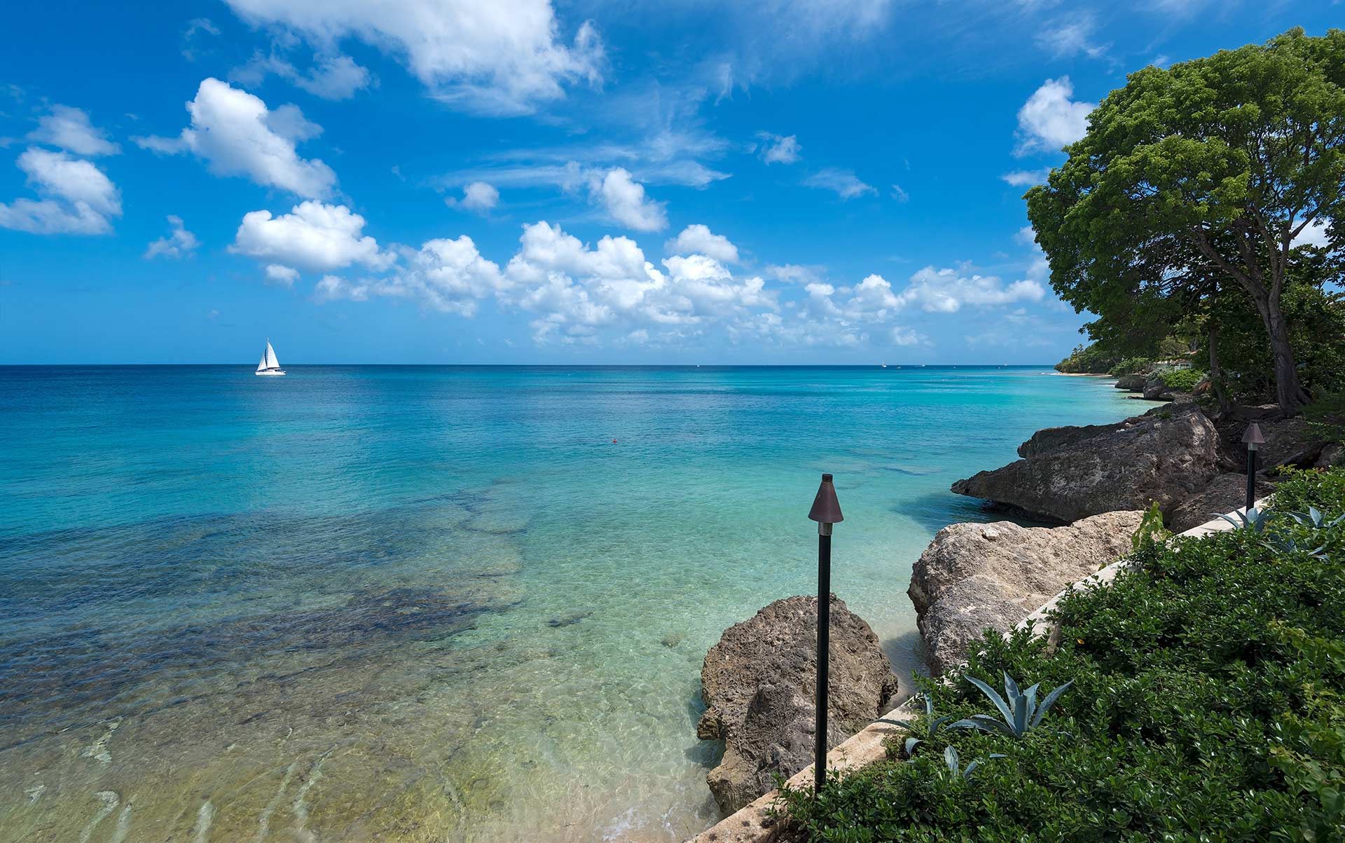
About Barbados
Barbados is bordered by the Caribbean Sea and the Atlantic Ocean. It is located approximately 168 km east of St. Lucia and St. Vincent, and not inside of Jamaica as most people think. To get to Jamaica from Barbados by plane, it takes approximately 2 ½ hours. From the USA to Barbados takes approximately 5 hours and from the UK to Barbados 8 hours and change, if that helps put the location into perspective. Some airlines that fly to Barbados are Virgin Atlantic, British Airways, American Airlines, JetBlue, AirCanada and WestJet.
Barbados Hurricane & Hurricane preparedness facts:
- Barbados has not been impacted by a hurricane for 65 years. The last hurricane that Barbados experienced was in 1955.
- Barbados is not in the hurricane belt. The hurricane belt is an area in the Atlantic Ocean that is likely to be impacted by hurricanes during the Atlantic hurricane season.
- On October 30th, 2010 Hurricane Tomas, a tropical storm at the time, passed 20 miles south of Barbados and caused mild structural damage
- Hurricane shelters are being made compliant with COVID 19 requirements
- CDEMA runs pre-impact drills and has a post-impact plan supported by the Regional Response Mechanism (RRM) which is a rapid response unit
- There are hurricane shelters in all parishes of Barbados. These are managed by Senior Shelter Wardens
- There are approximately 10 privately owned business shelters, all with potable water
- Out of all named shelters, Barbados has approximately 14 hurricane shelters with wheelchair access
The Saffir Simpson Scale – how hurricanes are categorized
| Category | Miles Per Hour (MPH) | Meters per Second | Knots |
| 1 | 74–95 | 33–42 | 64–82 |
| 2 | 96–110 | 42–49 | 83–95 |
| 3 | 111–129 | 49–57 | 96–112 |
| 4 | 131–156 | 58–69 | 113–135 |
| 5 | >157 | >70 | >136 |
Next week we share how our Property Managers have prepared our villas for hurricane season, with a portfolio of 120 + vacation villas, it’s a labour of love!

")